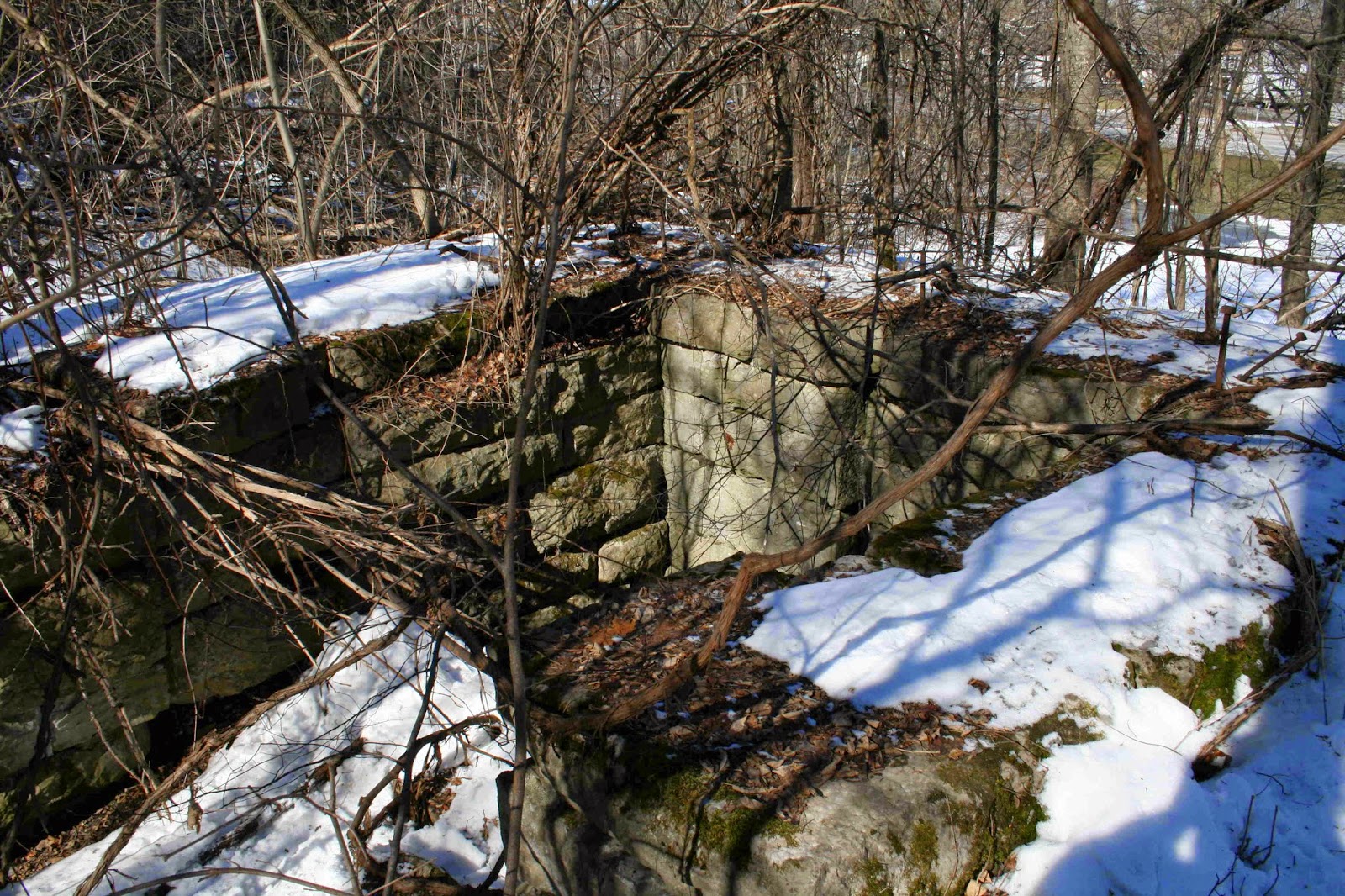
One of the largest remains of our village past can be found south of Port Byron, running up the valley of the Owasco Outlet. It is the old Beach Millrace, a two mile long power canal that carried water from Hayden to the village. Built in 1830 by John Beach, it started at Parks Dam just south Hayden Road, and followed the west bank of the Outlet until it reached a point opposite where St John’s Church is today. The mill wheel it powered was 20 feet in diameter and it was all part of a four story stone mill built by a group of men from Auburn and Rochester. The mill was built to use the old Erie Canal to bring in grain and ship out barrels of flour.
The mill, once called the largest in the State was quickly surpassed by mills in Rochester that used the much larger Genesee River to power their wheels and machinery. By 1857, the mill was gone, burned, perhaps in response to the moving of the Erie Canal in the village. But the millrace lived on.
Canals are artificial rivers, and rely on natural sources of water in order to fill and replenish the water needed to float the boats. From Jordan to Montezuma, a fairly short section of canal, the water came from Skaneateles Lake through a feeder that joined the canal to the Skaneateles Outlet at Jordan. There were a couple other smaller feeders; one at Putnam Brook in Weedpsort, one at Centerport, and another at Herring Brook, just east of Port Byron. But these were very small and limited in quantities, proving water measured in hundreds of cubic feet, where larger feeders provided thousands of cubic feet. So the canal relied on Skaneateles Lake to fill and operate sixteen miles of canal. And when they turned on the canal tap, the water in the creek dried up and the mills went quiet.
The lake was able to keep up with the first small canal, but with the canal enlargement that took place from 1836 to 1862, the canal was doubled in size and now two locks did the work of one. Skaneateles Lake was in trouble.
There was another source of canal water. That would be the Owasco Lake and the Owasco Outlet that flowed under the canal at Port Byron. But with the Beach’s large mill and other mills along the Outlet, the State did not take the water. Why they didn’t take the water is a question, and why the water could not be turned into the canal once it passed over Beach’s wheel is not known or ever discussed. In 1863, the Rochester paper reported that the “extravagant demands” of the mill owners kept the State from taking the water. In 1866 the Skaneateles Democrat asserted that the State was playing favorites. Their lake was drained, the mills were silent, and the people unemployed. Meanwhile in Port Byron, the mills had water. It had been nine years since the old mill had burned, and although smaller mills were still in business along the Owasco Outlet, the water flowed under the canal instead of into it.
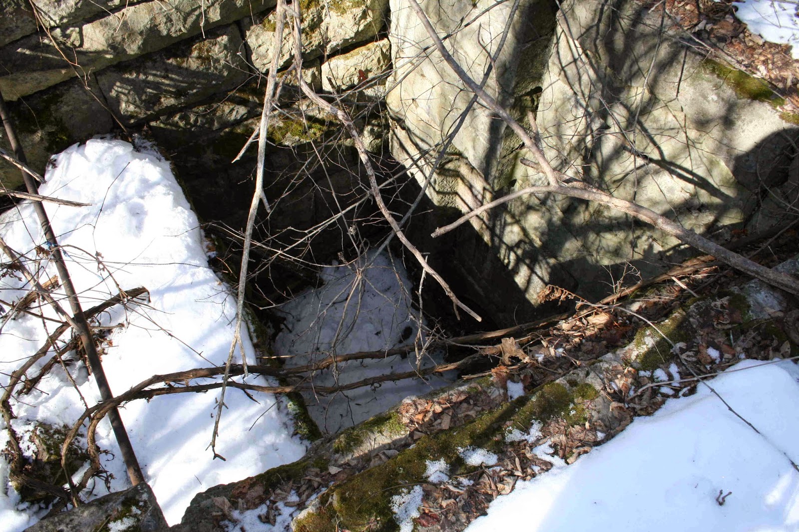
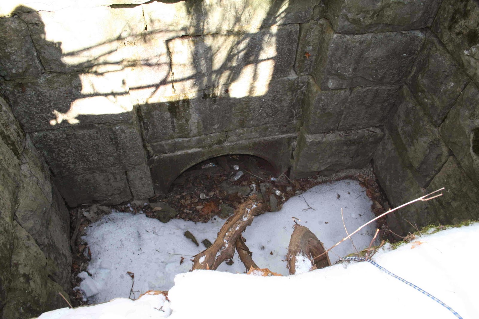
However, 1866 was the turning point. With Skaneateles Lake drained, the State had no choice but to tap into the Owasco flow. Since the canal was higher than the creek in Port Byron, the old mill race was looked at and ultimately used. From its ending spot up on the hill, a wooden flume was constructed that carried water overhead to a spot in the canal near River Street.
By 1871, the flume was leaking badly. The State engineers asked to have money to replace the old wood structure. A iron pipe was suggested, one that could be buried underground and be somewhat protected from the elements. Pleas for money went on for a couple years and in 1875 the State finally gave money. In October of 1875, the Auburn paper reported that teams were busy drawing stone from Auburn to the new feeder. By 1876, the new feeder was in use and this color map was drawn to show the work.
More work was done over the years. The mill race was enlarged and a new gate house was added at Hayden. I wrote a piece about the dam at Hayden and you can find it here.
Because the old mill race was used until 1918, it’s remains are still fairly intact and it is the largest structure left from our history. However, over the years, I have watched the old iron pipe fade away. It is getting really hard to see these days.
You can walk along parts of the old race, as I did a couple years back when I took these photos.
Here is the canal dug into the hill side with a path that was large enough to allow work animals to safely walk along it.
Hard to believe but there was once a four story stone mill located here.
This is a end of the race and the beginning of the iron pipe. You can see the old school in the back ground of the wide angle view.


