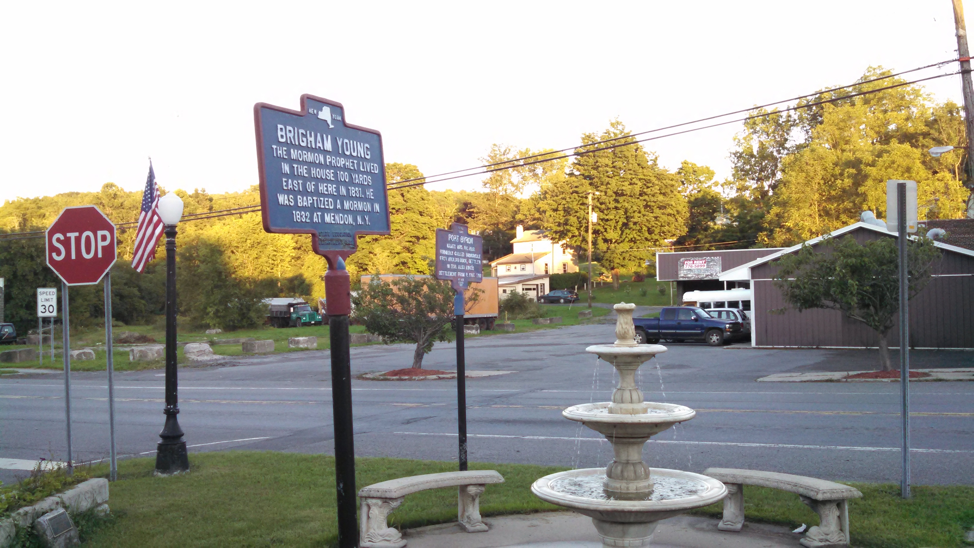
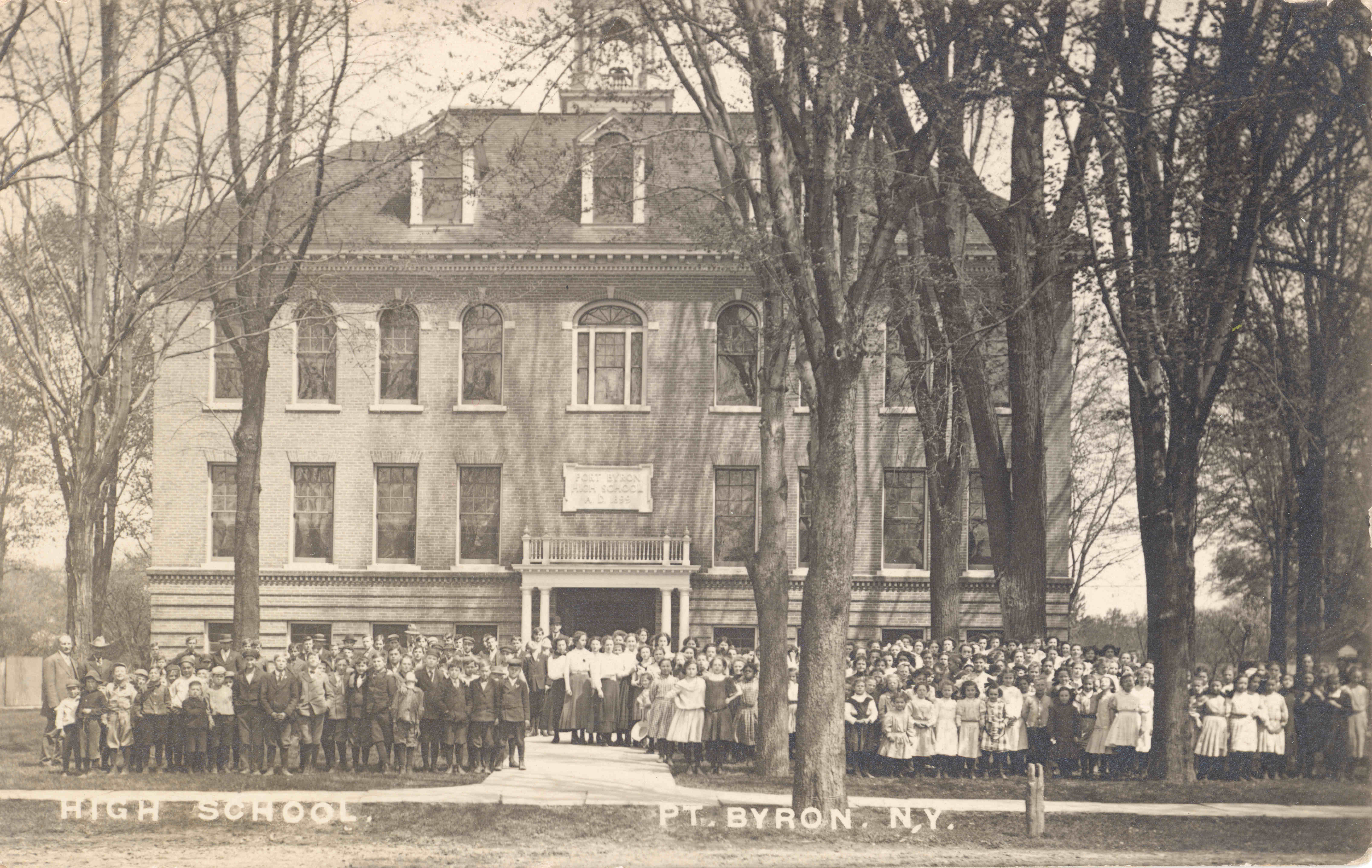
Better known as the place where Brigham Young lived with his wife and first daughter. This building has remained almost unchanged over 200 years.

Located on Maiden Lane, this was the first cemetery in the village.

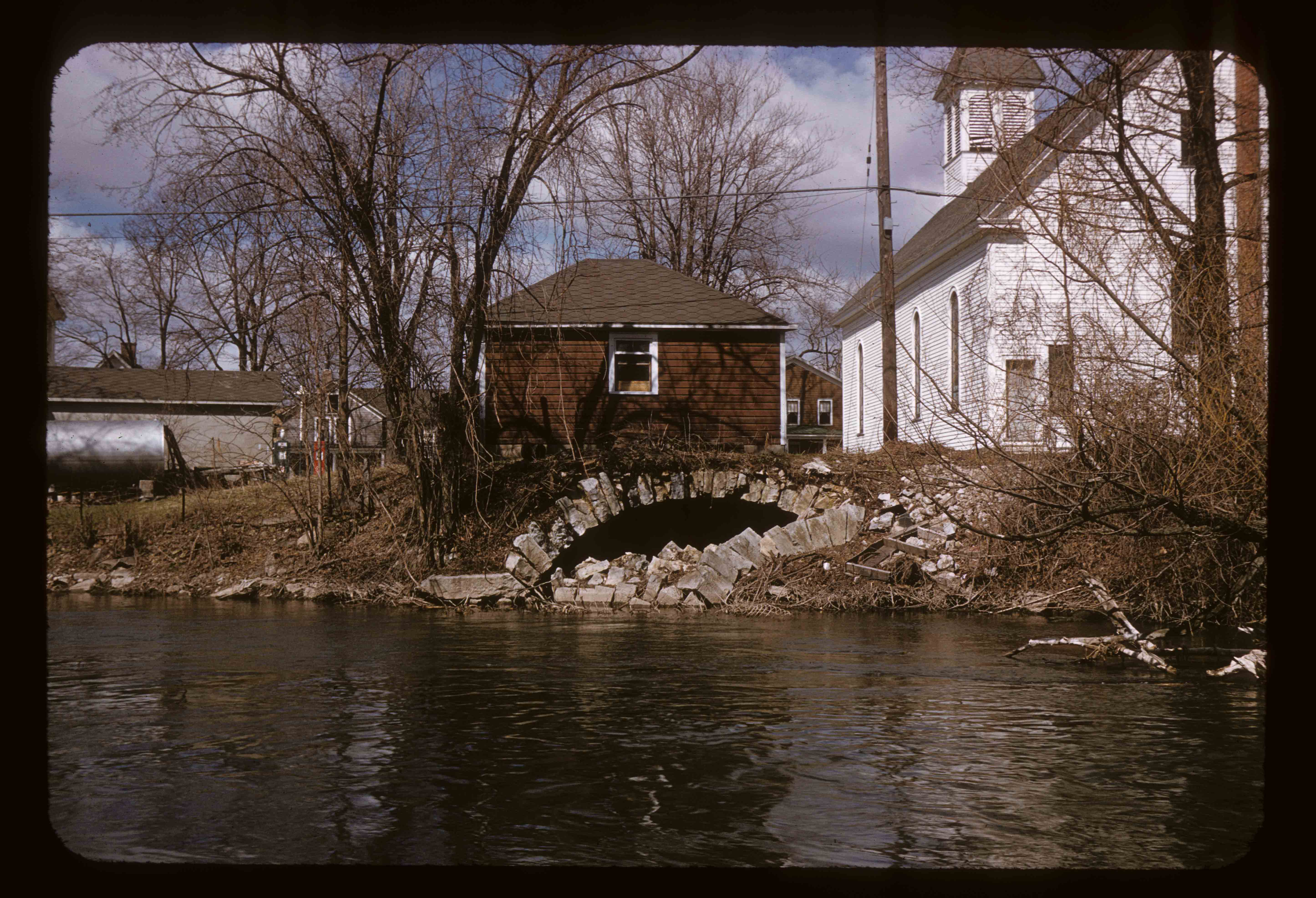
Enlarged Canal along the Erie Canalway Trail east of the village.


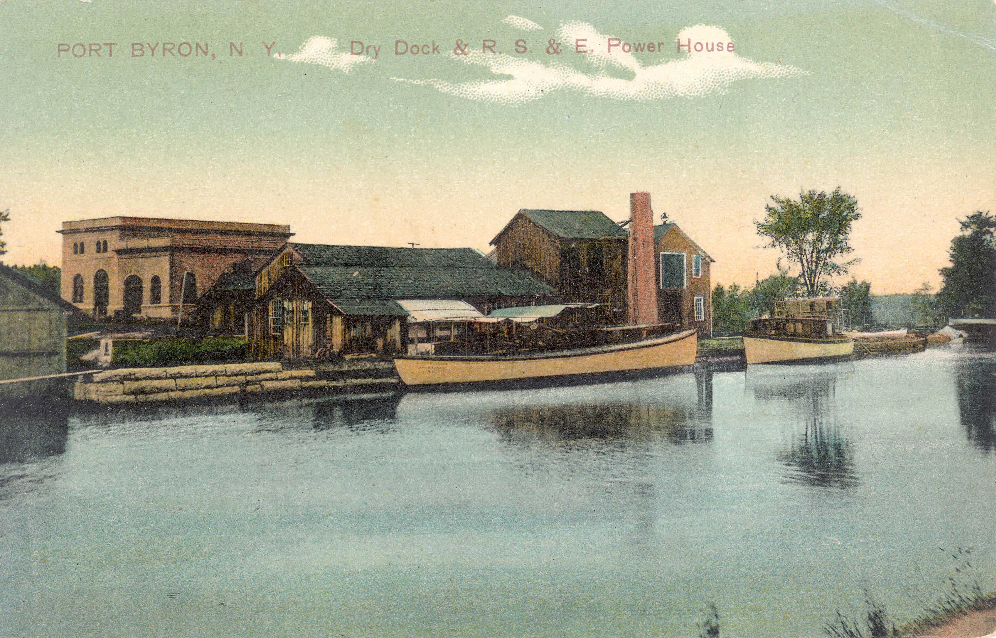
The Rochester, Syracuse, and Eastern Powerhouse, circa 1910
These powerhouses were located every 10 miles along the electric railroad.

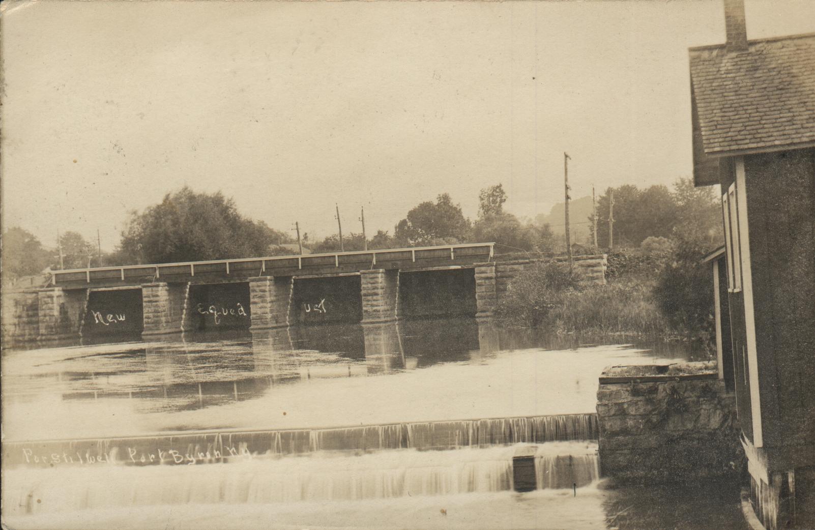
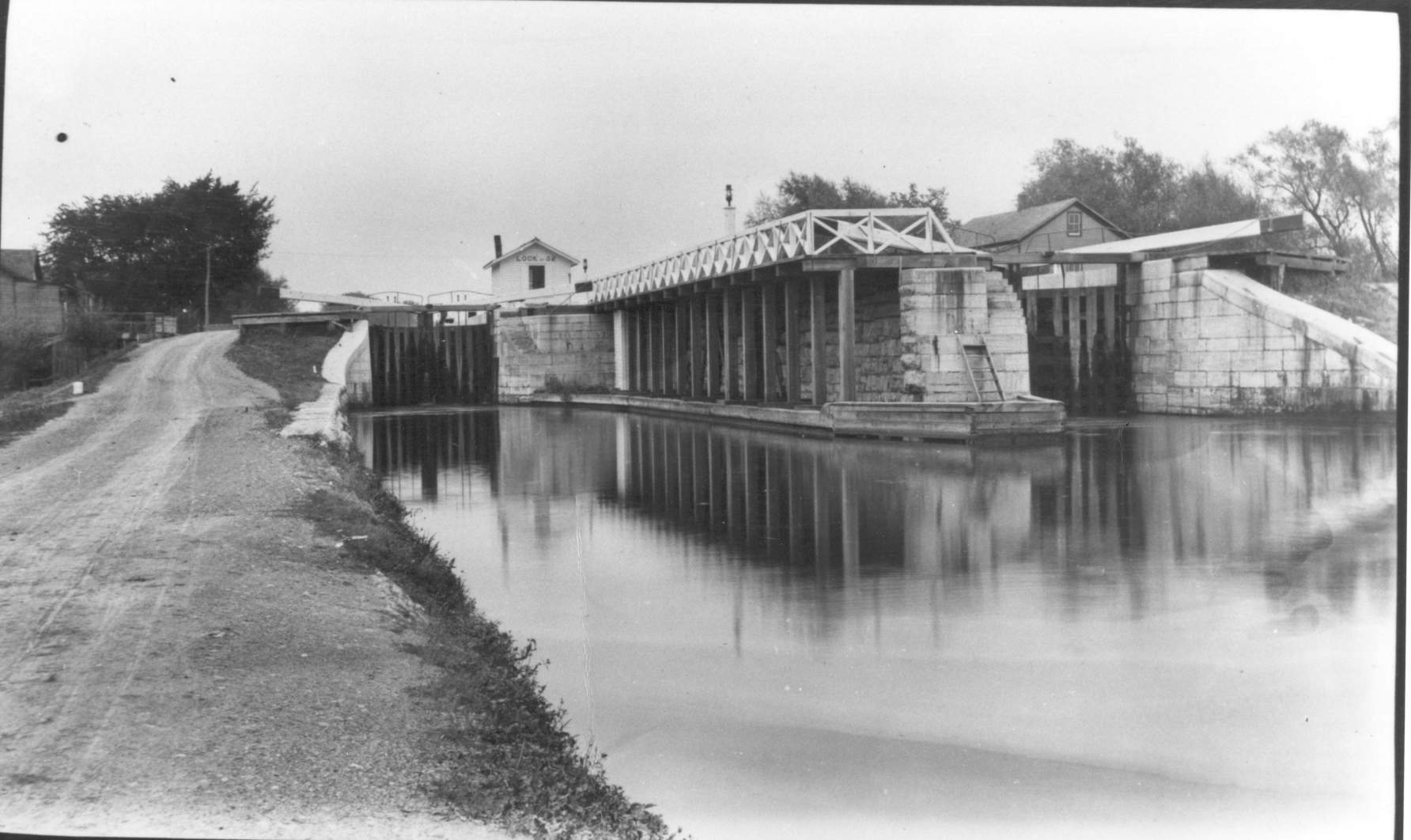
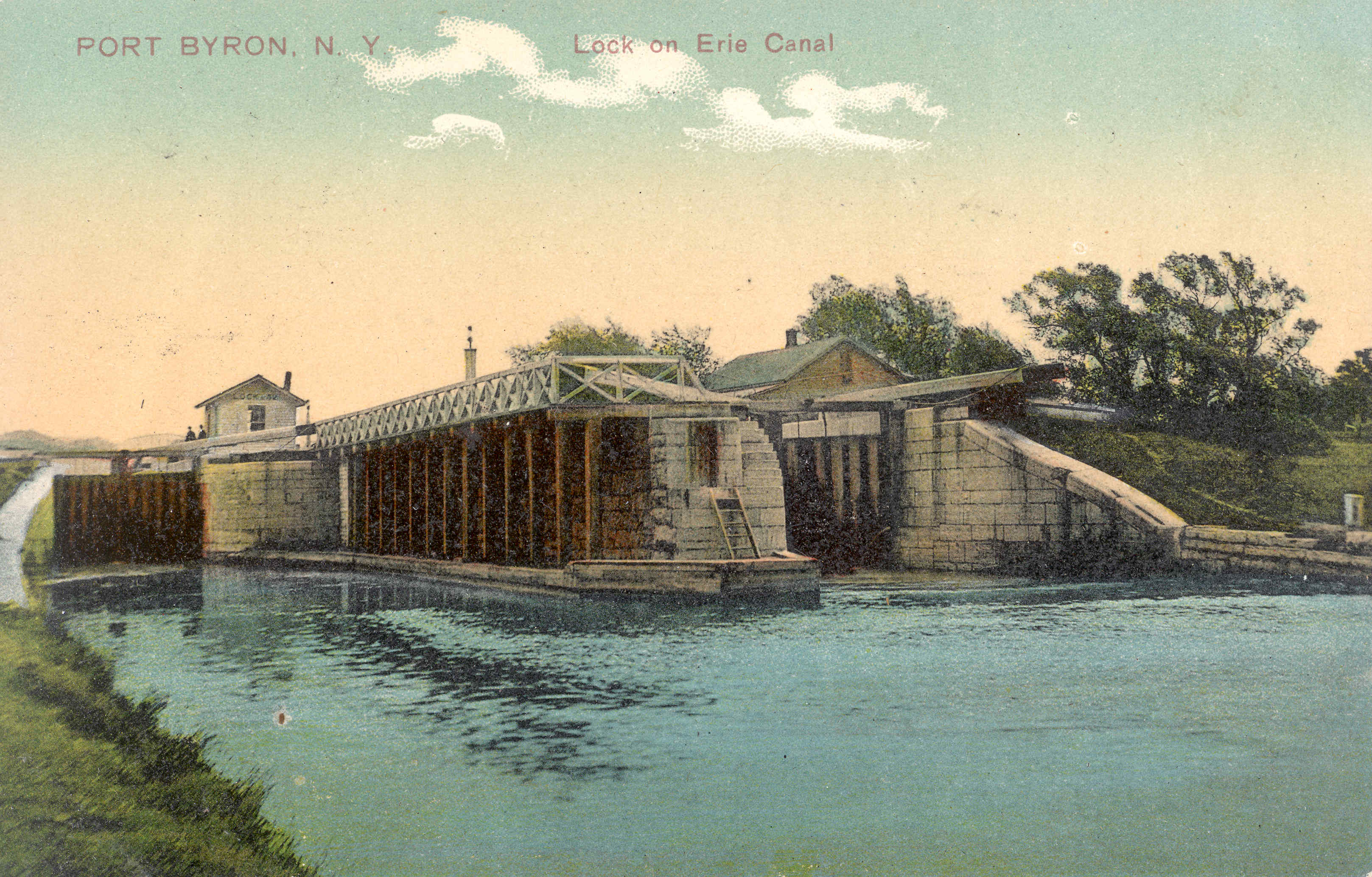
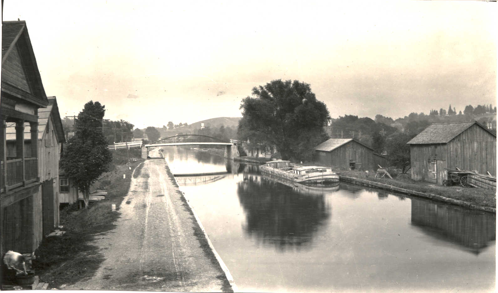
The lock as seen from the towpath, looking west.

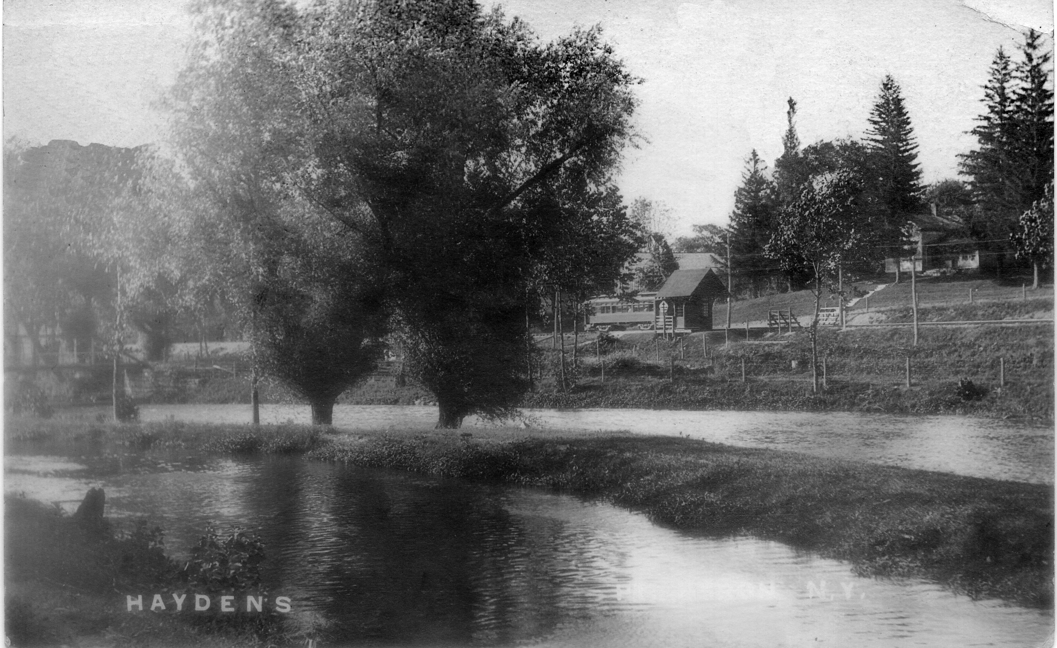
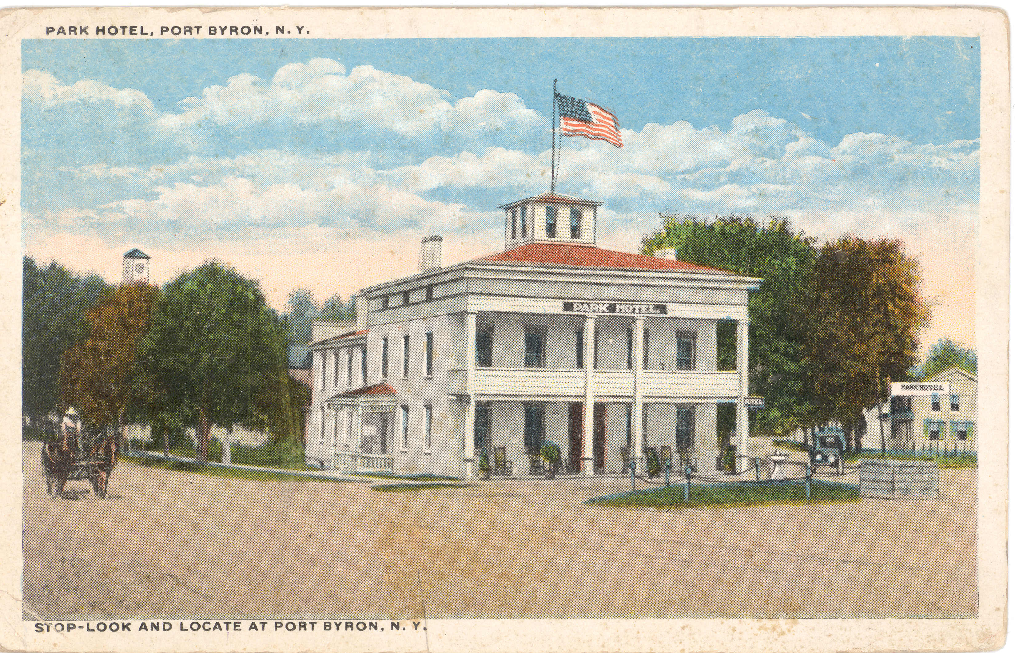
One of the earliest views of the old hotel.

The Auburn and Northern connected Port Byron and the mainline of the RS&E with the city of Auburn.

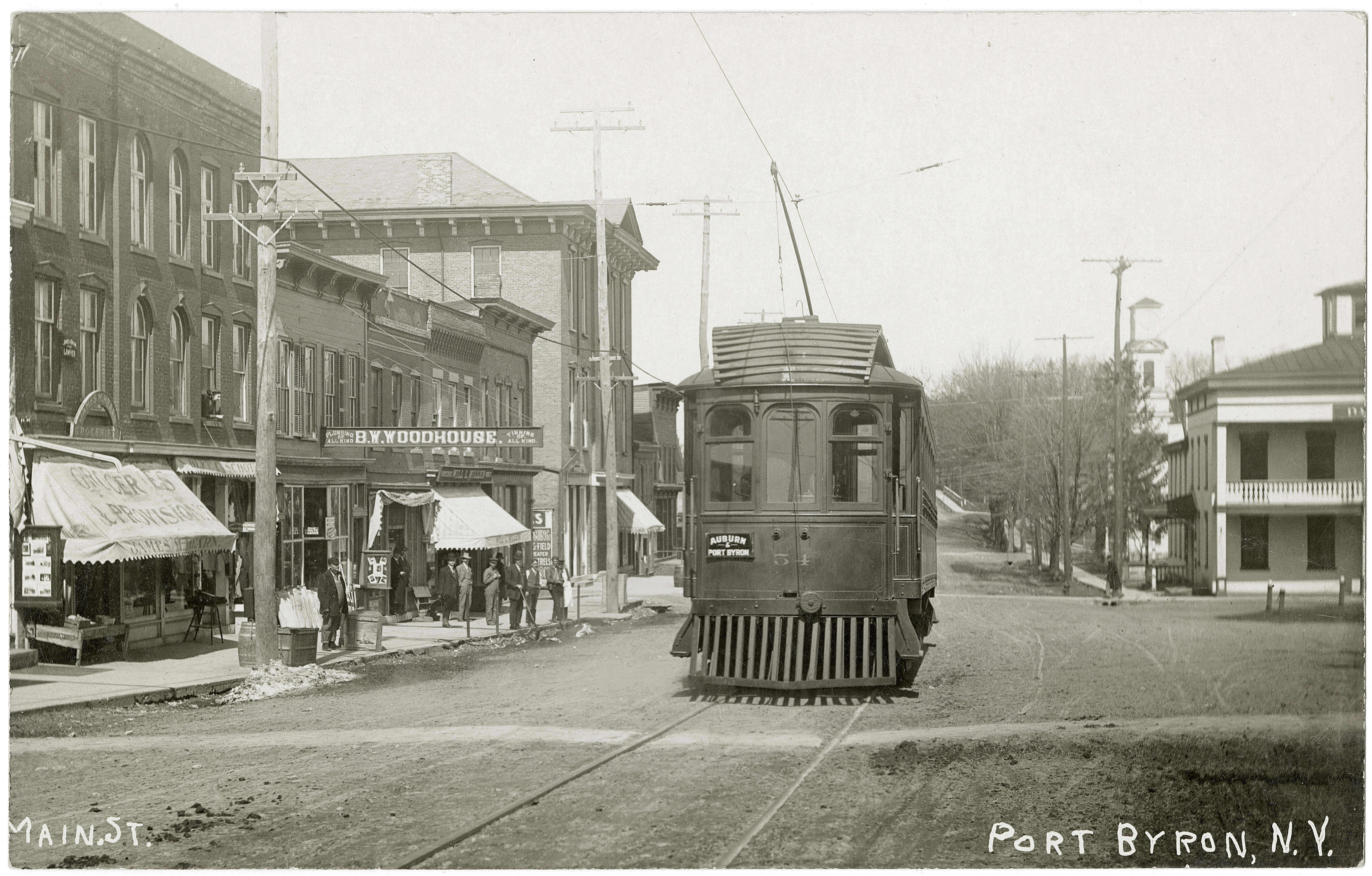
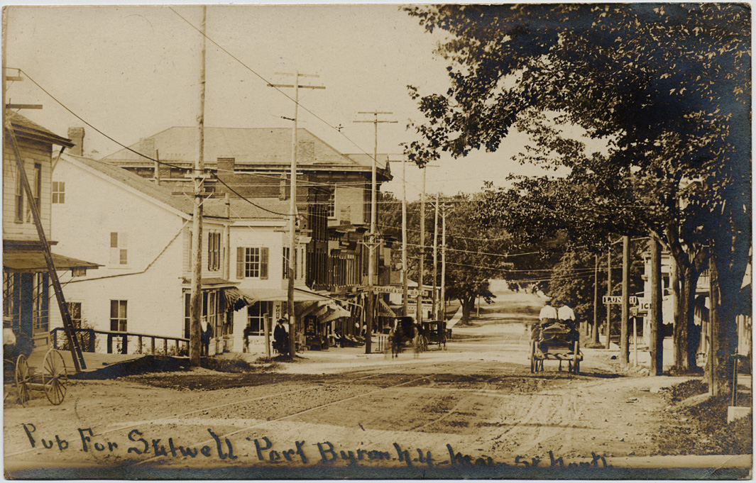
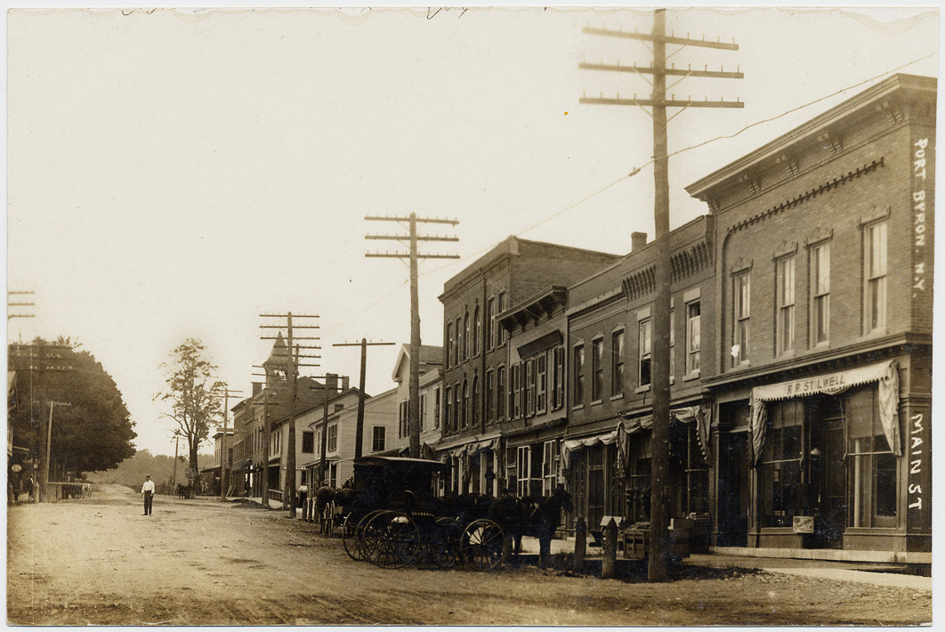
This view is looking south along Main Street. Since the trolley is present, we know it is after 1908.

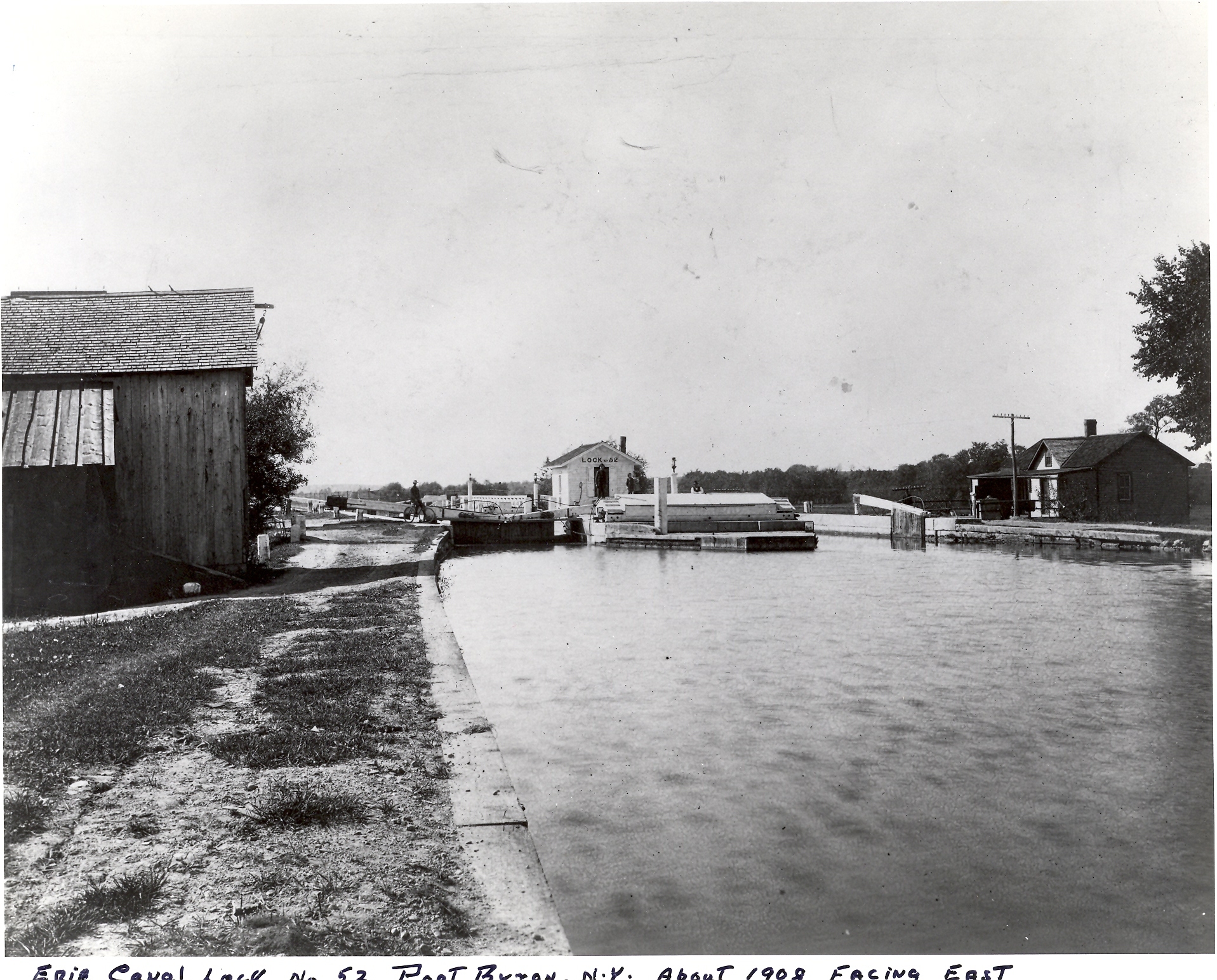
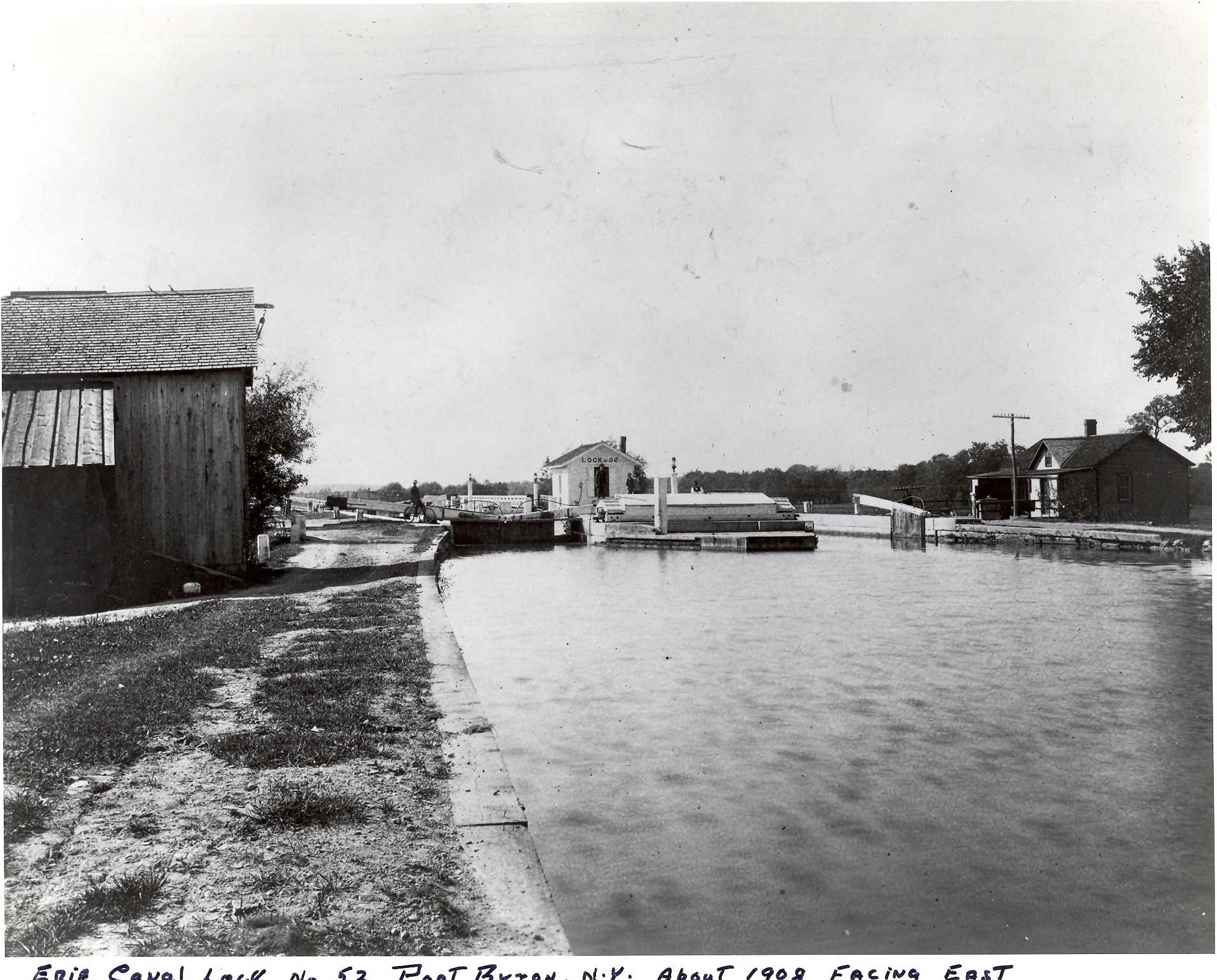
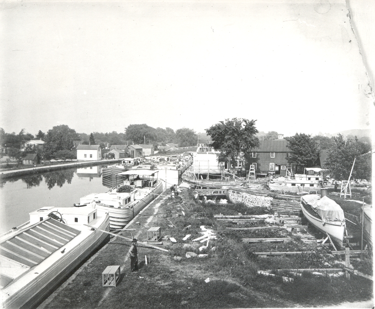
Standing on the lock gates, this view looks east toward the Erie House and the village.

You get to see both the Port Byron Hotel and the Howard House in this 1909 photo.

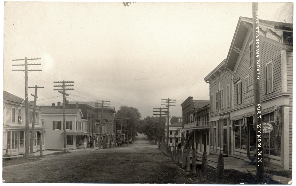
This view of Main Street is looking north. The trolley is about where the traffic signal is today.


This color postcard shows cars on the A&N and the RS&E. From here, you could go to Rochester, Syracuse, or Auburn.

The new 1938 school.

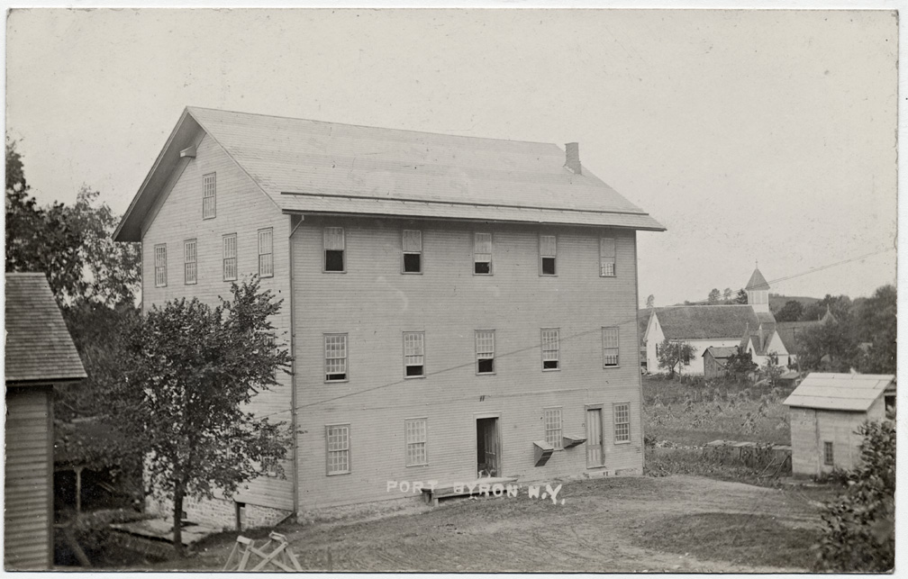
This large hotel was where the Dollar General is today.

Standing on the towpath, looking east toward Main Street. Today, you would be in the ball fields, and looking at the back of a house.
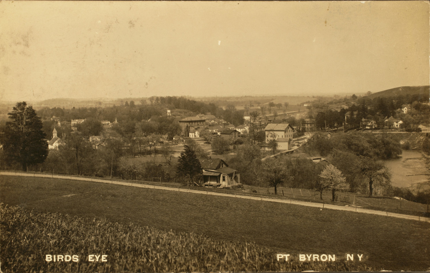

This 1938 image shows the newly built central school, and much of the village.

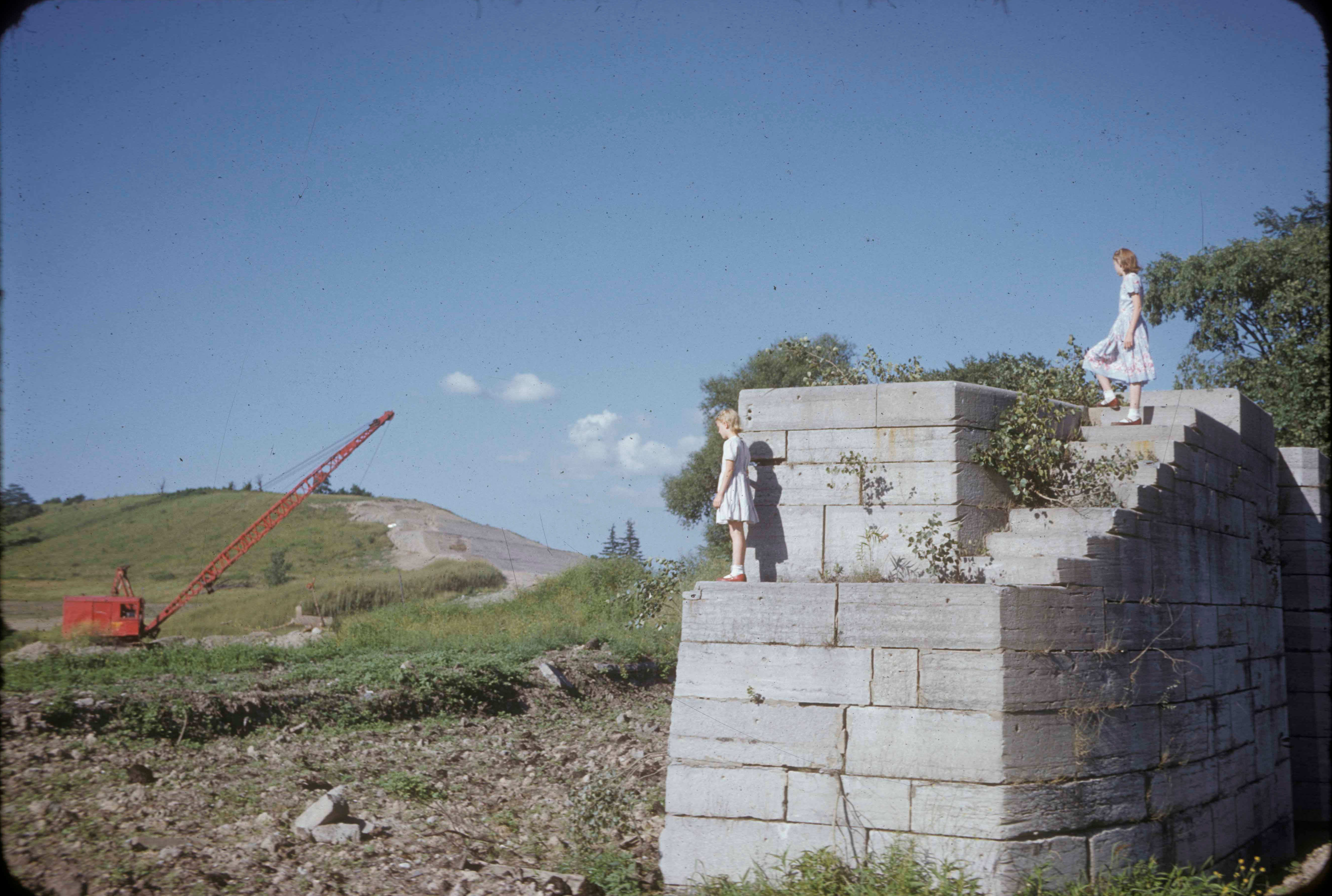
Guidone's Hill circa 1953.
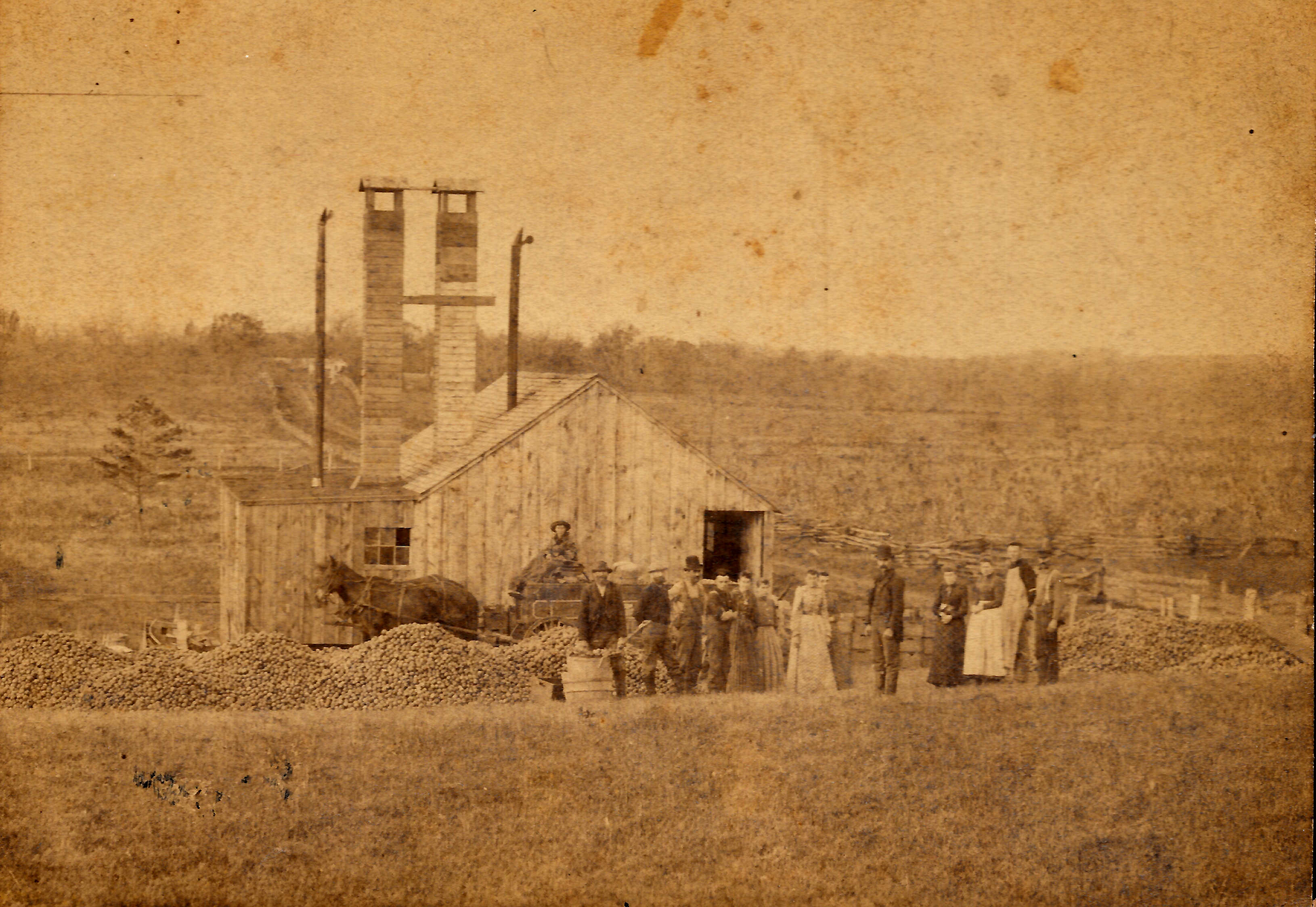
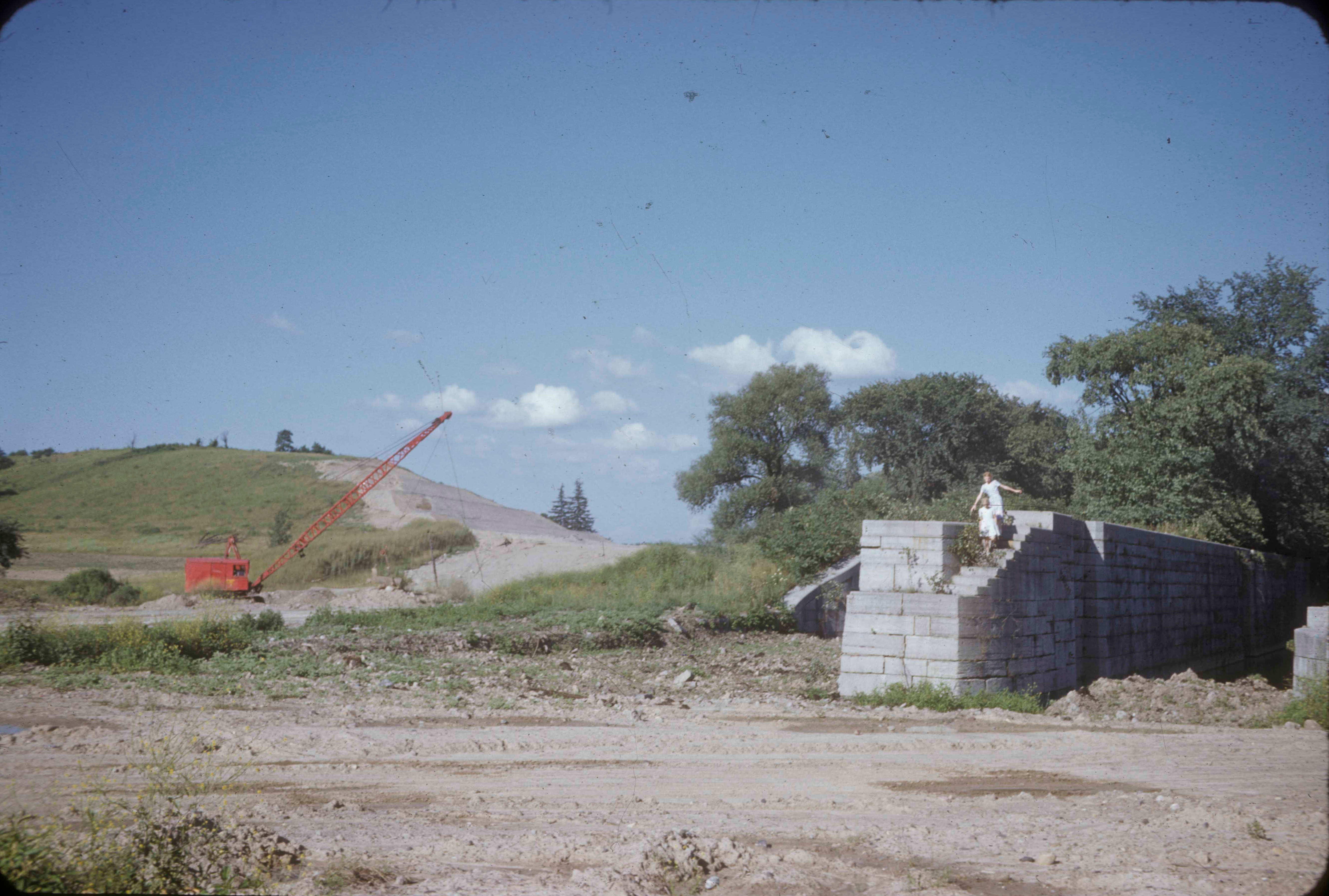
The southern end of Guidone's Hill, a drumlin located just north of Lock 52. Here the construction crews are mining the hill for use as fill along the new Thruway.

A view west from Lock 52
Looking west from Lock 52 around 1960.